
Course description
What's on the road
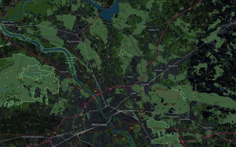
The start is at Port Nieporęt, and League barriers line the whole course. Along Wojska Polskiego Street through Nieporęt you reach Fortowa Street and the first turnaround at 5.7 km, then regional road 631 east to Radzymin. There are two more turnarounds there: on road 632 among fields at 28.5 km and on road 631 in the forest at 37.9 km. From Radzymin you ride back to Nieporęt, over the bridge across the Żerań Canal onto road 633 and along Płochocińska Street through Białołęka onto Modlińska Street.
From km 70 you ride the approach road to Północny Bridge and then the bridge over the Vistula, the highest point of the course. After the bridge the Wisłostrada begins: south along the river on Wybrzeże Gdyńskie and Wybrzeże Gdańskie, through the tunnel at 81.3 km, through Powiśle and along Solec Street to the turnaround on Czerniakowska Street at 84.2 km. Back through the tunnel a second time, and in the last 500 m a climb of 12 m from the Wisłostrada up to the finish arch, META, in Traugutt Park.
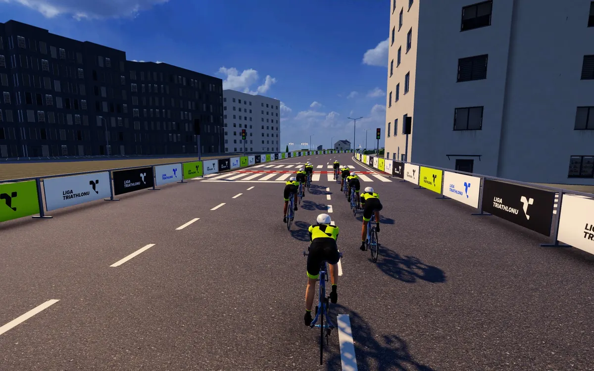
What counts is geometry and physics: the turnarounds, the tunnel, the bridges and every percent of climbing are where they are on the real road, and the gradient goes to your trainer over FTMS. The course is almost flat, nowhere steeper than 4%, so watts and your position on the bike decide your pace, not your weight. At 35 km/h it is more than two and a half hours of riding.
- 89.7 km one way, no laps: start at Port Nieporęt, finish in Traugutt Park
- 4 turnarounds: on Fortowa Street in Nieporęt, two near Radzymin and on Czerniakowska Street
- Północny Bridge over the Vistula and the Wisłostrada with a tunnel you ride through twice
- 188 m of climbing, nowhere steeper than 4%, from 80 to 100 m above sea level
Triathlon w Warszawie in the Liga Triathlonu calendar · See the Polish race courses in the catalogue