
Course description
What's on the road
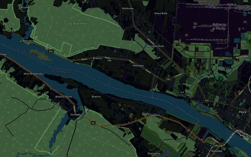
Start and finish are on the Old Market Square, with the arch and barriers along the course. Over cobbles through the Old Town and along Kazimierza Wielkiego Street you reach the edge of the escarpment, and at km 2 the road drops into the Brzeźnica valley, at up to 10%. After the bridge comes the climb to Winiary straight away, a roundabout at 3.8 km and regional road 562 through Maszewo and Brwilno, the highest part of the whole loop. Beyond Brwilno, a descent from the escarpment to the Włocławek Reservoir and flat along the water to the turnaround near Biskupice at 11.4 km. Back along the same road: the climb onto the escarpment, the roundabout, the Brzeźnica valley with its bridge a second time at 20.5 km, and out of it 10% uphill to the Old Town.
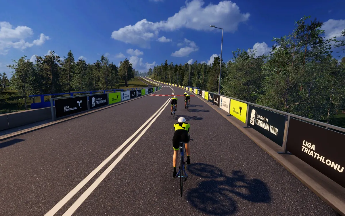
What counts is geometry and physics: the turnaround, the roundabout, both bridge crossings and every percent of climbing are where they are on the real road, and the gradient goes to your trainer over FTMS. Speed is calculated from power and the weight of rider and bike, so on the climbs out of the Brzeźnica valley and up from the reservoir watts per kilogram count, and on the flat section by the water, watts and your position on the bike.
- Start and finish on the Old Market Square, 22.5 km loop: 1/8 IM = 1 lap, 1/4 IM = 2, 1/2 IM = 4
- The Brzeźnica valley with its bridge twice per lap, descent and climb of up to 10%
- Regional road 562 along the escarpment above the Vistula, a descent to the Włocławek Reservoir and the turnaround near Biskupice
- Just under 140 m of climbing per lap, from 60 to 105 m above sea level
Garmin Triathlon Tour Płock in the Liga Triathlonu calendar · See the Polish race courses in the catalogue