
Course description
What's on the road
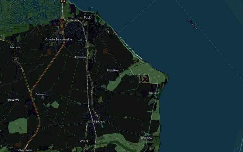
Start and finish are at the MOKSiR sports complex in Puck. Through the Płażyński roundabout you leave town heading south, the first 2 km gently uphill, from 7 to 20 m above sea level, beyond Celbówko the highest point of the loop, 24 m, and then rolling to the turnaround before Żelistrzewo at 4.9 km. On the way back you turn east to Rzucewo and at 9.2 km enter Aleja Lipowa: 1.9 km under lime trees along Puck Bay to the turnaround in Osłonino, and the same avenue back. The last 7 km lead from Rzucewo to Puck, and the final 2 km gently downhill to the finish.
What counts is geometry and physics: both turnarounds, the roundabout and every climb are where they are on the real road, and the coastline of the bay comes from real data. The gradient goes to your trainer over FTMS, and speed is calculated from power and the weight of rider and bike, so on the short climbs in the avenue your weight matters too.
- Start and finish in Puck, 20 km loop: Sprint = 1 lap, MEGA = 2
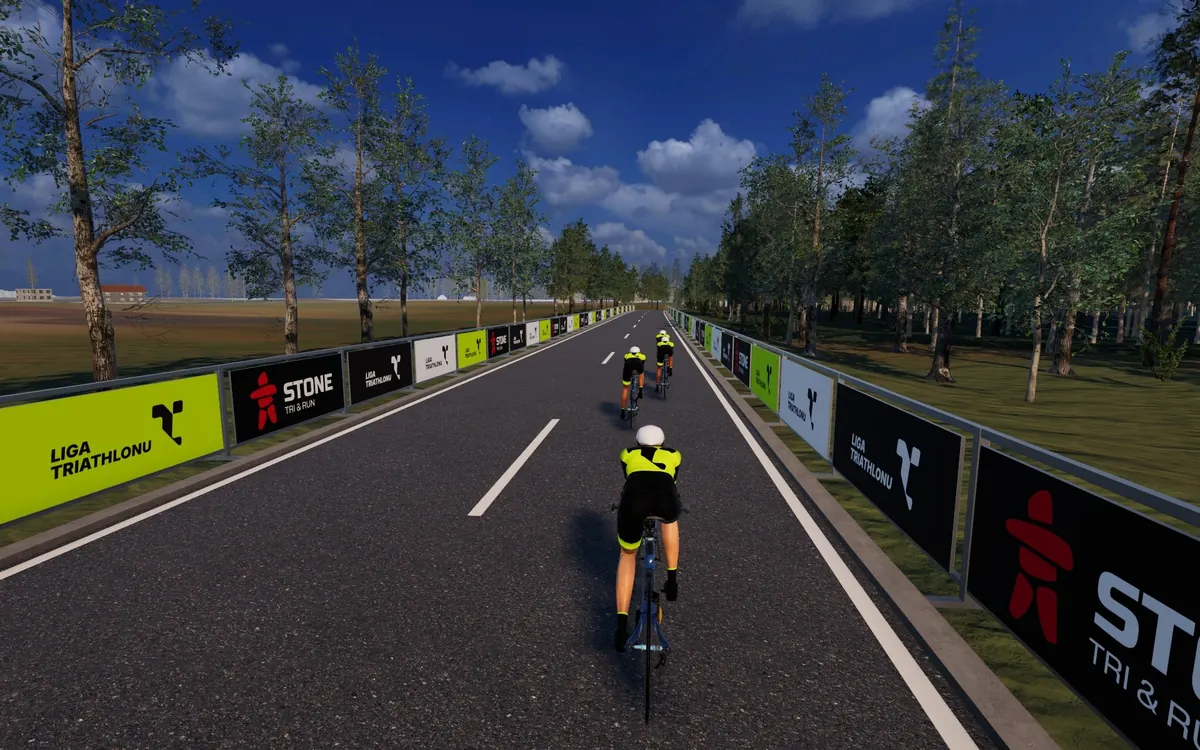
- Aleja Lipowa along Puck Bay: 1.9 km under lime trees each way
- Two turnarounds on the road, before Żelistrzewo and in Osłonino, and the Płażyński roundabout in both directions
- 104 m of climbing per lap, 5.5% at most, from 6 to 24 m above sea level
PGK Triathlon Puck in the Liga Triathlonu calendar · See the Polish race courses in the catalogue